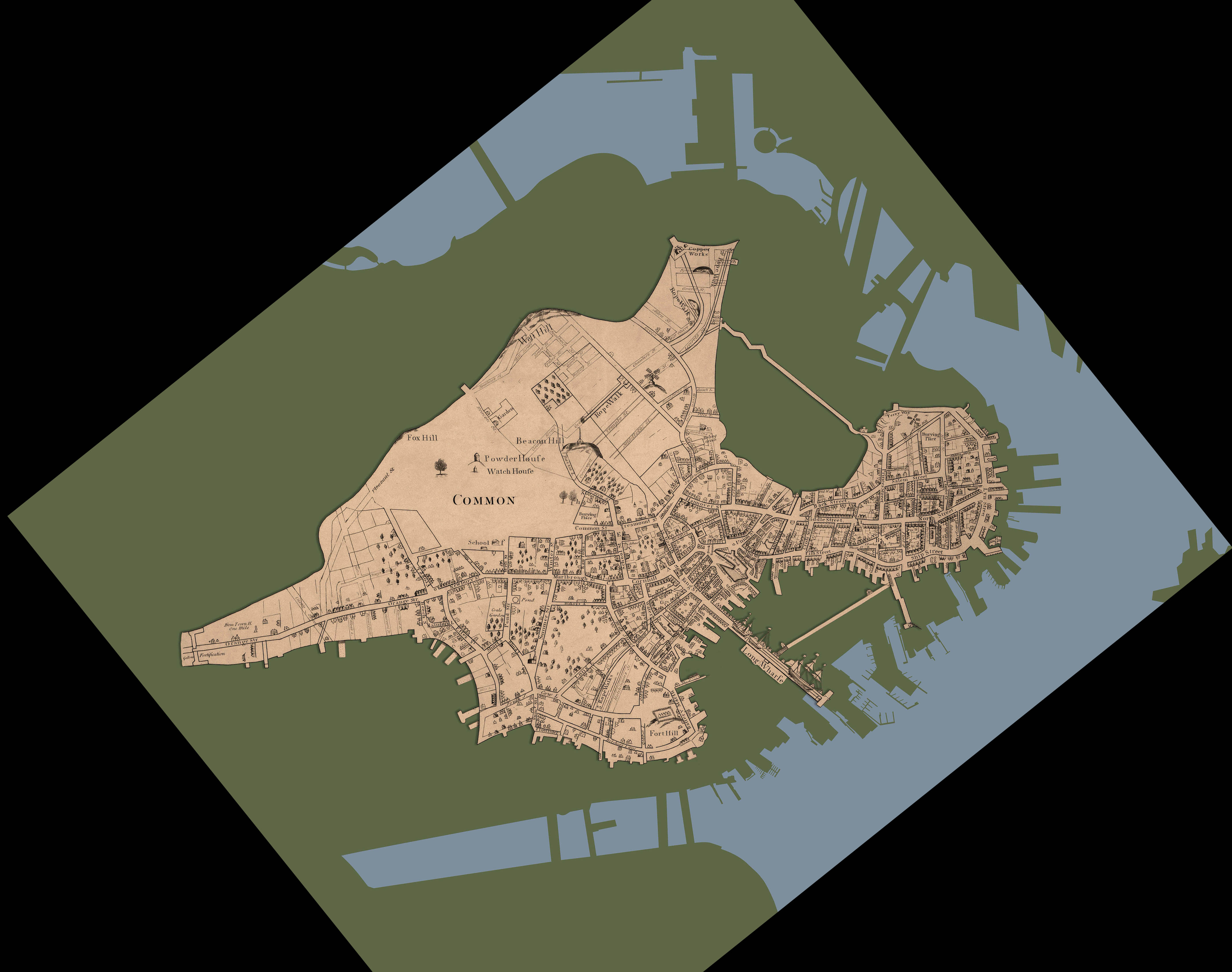

[The illustration above shows the landmass of Colonial Boston in 1769 (the tan area) superimposed on the modern shoreline of Boston (the green area). This detail of Colonial Boston is from the 1835 reissue of a 1722 map engraved by John Bonner showing alterations to Boston's topography through 1769.]
In June 1767, Parliament passed the Townshend Acts, which levied import duties on articles including tea, lead, glass, paint, and paper and established a Board of Customs Commissioners for America to be stationed in Boston. Bostonians protested the import duties by encouraging nonimportation and nonconsumption movements in the colonies. In February 1768, the customs commissioners asked Parliament to guarantee their safety as they carried out their duties in Boston. Troops began arriving in October of that year. Many Bostonians resented the presence of the standing army in their town, and patriot leaders made concerted efforts to feed the population's animosity toward the soldiers.
By the winter of 1770, civilians clashed more and more frequently with the soldiers of the Fourteenth and Twenty-ninth Regiments, the last troops remaining in Boston. (Other regiments had been previously relocated.) In 1765, the population of Boston was about 15,500 people and the residents and the soldiers occupying the town had to pack themselves into the existing streets and neighborhoods. The geographic area of Boston was constrained by the town's location on a peninsula mostly surrounded by water. After a series of clashes between soldiers and workers at John Gray's ropewalks during the weekend of 2 March, Bostonians were anticipating additional trouble.
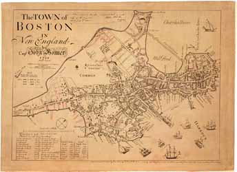
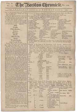
Click below to view the facsimile of the map of Boston, drawn by John Bonner in 1722 (and revised through 1769), as well as a newspaper from Boston a few months before the Massacre occurred.
 The Town of Boston in New England by Capt. John Bonner, 1722. Aetatis Suae 60
 The Boston Chronicle